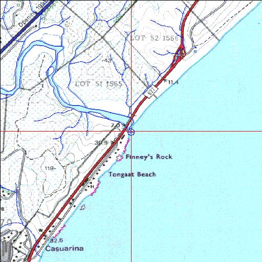
Condition: Poor
Degraded due to pollution and siltation but suitable for rehabilitation
29o34'21.6"S 31o11'07.6"E
(-29.572656, 31.185437)
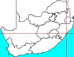
Map 2931CA
3972m wide x 4567m high
Cape Datum.
Surveys and Mapping.
Data from file
/iwqs3/tmp/riv/wes_akw-geo
| Tongati Temporarily open/closed estuary. | ||
|---|---|---|
|
|
|
|
|
Information: Moderate Condition: Poor Degraded due to pollution and siltation but suitable for rehabilitation |
||
|
Locality: 29o34'21.6"S 31o11'07.6"E (-29.572656, 31.185437) Map 2931CA 3972m wide x 4567m high Cape Datum. |
||
|
Surveys and Mapping. Data from file /iwqs3/tmp/riv/wes_akw-geo |
||
| <--Previous | Home^ | Next--> | |
| SA Inst. for Aquatic Biodiversity | stmaphtml.aml 2003-09-04 - 16:44:04 | |