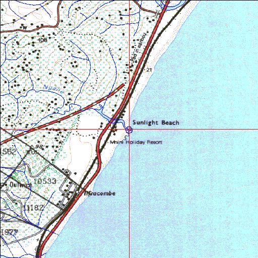
Condition: Fair
Faecal contamination and bilharzia infestation require investigation
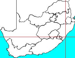
30o10'44.2"S 30o49'01.7"E
(-30.178954, 30.817127)
Map 3030BB
3948m wide x 4567m high
Cape Datum.
Surveys and Mapping.
Data from file
/iwqs3/tmp/riv/wes_akw-geo
| Ngane Temporarily open/closed estuary. | ||
|---|---|---|
|
|
|
|
|
Information: Poor Condition: Fair Faecal contamination and bilharzia infestation require investigation |
||
|
Locality: 30o10'44.2"S 30o49'01.7"E (-30.178954, 30.817127) Map 3030BB 3948m wide x 4567m high Cape Datum. |
||
|
Surveys and Mapping. Data from file /iwqs3/tmp/riv/wes_akw-geo |
||
| <--Previous | Home^ | Next--> | |
| SA Inst. for Aquatic Biodiversity | stmaphtml.aml 2003-09-04 - 16:33:12 | |