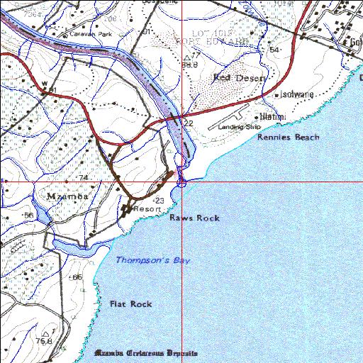
Condition: Excellent
Northern bank forms part of the Mtamvuna Nature Reserve
31o04'56.4"S 30o11'39.2"E
(-31.082337, 30.194212)
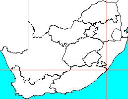
Map 3130AA
3911m wide x 4567m high
Cape Datum.
Surveys and Mapping.
Data from file
/iwqs3/tmp/riv/wes_akw-geo
| Mtamvuna Temporarily open/closed estuary. | ||
|---|---|---|
|
|
|
|
|
Information: Moderate Condition: Excellent Northern bank forms part of the Mtamvuna Nature Reserve |
||
|
Locality: 31o04'56.4"S 30o11'39.2"E (-31.082337, 30.194212) Map 3130AA 3911m wide x 4567m high Cape Datum. |
||
|
Surveys and Mapping. Data from file /iwqs3/tmp/riv/wes_akw-geo |
||
| <--Previous | Home^ | Next--> | |
| SA Inst. for Aquatic Biodiversity | stmaphtml.aml 2003-09-04 - 16:02:21 | |