Condition: Good
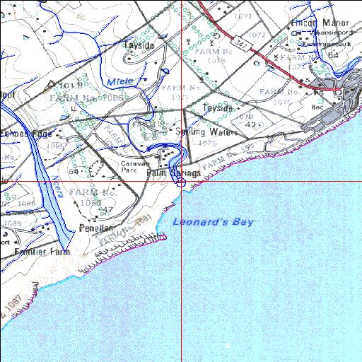
Weir at head of estuary and part of shoreline has been stabilized
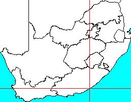
33o09'36"S 27o40'51.2"E
(-33.159998, 27.680894)
Map 3327BA
3823m wide x 4567m high
Cape Datum.
Surveys and Mapping.
Data from file
/iwqs3/tmp/riv/wes_akw-geo
| Mlele Temporarily open/closed estuary. | ||
|---|---|---|
|
|
|
|
|
Information: Poor Condition: Good Weir at head of estuary and part of shoreline has been stabilized |
||
|
Locality: 33o09'36"S 27o40'51.2"E (-33.159998, 27.680894) Map 3327BA 3823m wide x 4567m high Cape Datum. |
||
|
Surveys and Mapping. Data from file /iwqs3/tmp/riv/wes_akw-geo |
||
| <--Previous | Home^ | Next--> | |
| SA Inst. for Aquatic Biodiversity | stmaphtml.aml 2003-09-04 - 14:48:15 | |