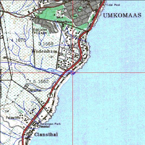
Condition: Good
Sugar cane encroachment onto the floodplain
30o13'29.1"S 30o47'38.7"E
(-30.224751, 30.794087)
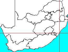
Map 3030BB
3946m wide x 4567m high
Cape Datum.
Surveys and Mapping.
Data from file
/iwqs3/tmp/riv/wes_akw-geo
| Mahlongwana Temporarily open/closed estuary. | ||
|---|---|---|
|
|
|
|
|
Information: Poor Condition: Good Sugar cane encroachment onto the floodplain |
||
|
Locality: 30o13'29.1"S 30o47'38.7"E (-30.224751, 30.794087) Map 3030BB 3946m wide x 4567m high Cape Datum. |
||
|
Surveys and Mapping. Data from file /iwqs3/tmp/riv/wes_akw-geo |
||
| <--Previous | Home^ | Next--> | |
| SA Inst. for Aquatic Biodiversity | stmaphtml.aml 2003-09-04 - 16:32:02 | |