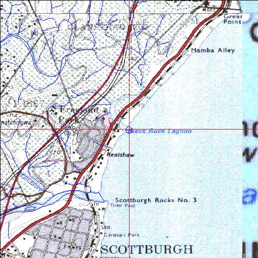
Mahlongwa Temporarily open/closed estuary.
Mahlongwa Temporarily open/closed estuary. Mahlongwa position
Information: Poor
Condition: Good

Wetland reclamation associated with sugar cane cultivation a problem
Locality:
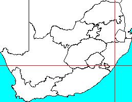
30o16'06.4"S 30o45'54.2"E
(-30.268453, 30.765061)
Map 3030BA 3030BB 3030BC
3944m wide x 4567m high
Cape Datum.
South Africa DLA, DWAF 1:50 000 maps from
Surveys and Mapping.
Data from file
/iwqs3/tmp/riv/wes_akw-geo
<--Previous | Home^ Next-->
SA Inst. for Aquatic Biodiversity stmaphtml.aml 2003-09-04 - 16:31:22