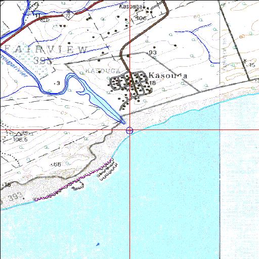
Condition: Excellent
A well conserved recreationally important Eastern Cape estuary
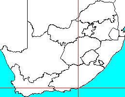
33o39'17.6"S 26o44'08.7"E
(-33.6549, 26.73575)
Map 3326DA 3326DB
3802m wide x 4567m high
Cape Datum.
Surveys and Mapping.
Data from file
/iwqs3/tmp/riv/wes_akw-geo
| Kasuka (Kasouga) Temporarily open/closed estuary. | ||
|---|---|---|
|
|
|
|
|
Information: Poor Condition: Excellent A well conserved recreationally important Eastern Cape estuary |
||
|
Locality: 33o39'17.6"S 26o44'08.7"E (-33.6549, 26.73575) Map 3326DA 3326DB 3802m wide x 4567m high Cape Datum. |
||
|
Surveys and Mapping. Data from file /iwqs3/tmp/riv/wes_akw-geo |
||
| <--Previous | Home^ | Next--> | |
| SA Inst. for Aquatic Biodiversity | stmaphtml.aml 2003-09-04 - 14:32:03 | |